The Role of Technology in Earthquake Preparedness

Understanding Earthquake Preparedness and Its Importance
Earthquake preparedness involves planning and actions taken to minimize the impact of seismic events. Just like having a fire drill at school, being ready for an earthquake can save lives and reduce damage. It's not just about knowing what to do; it’s about having the right tools and information at your fingertips.
By failing to prepare, you are preparing to fail.
In many regions, earthquakes are a reality, making preparedness crucial. Think of it as an insurance policy; you hope you never need it, but when the time comes, you’ll be grateful you have it. From emergency kits to communication plans, being prepared means being proactive rather than reactive.
With advancements in technology, our ability to prepare for earthquakes has improved significantly. Innovations in monitoring and communication can make a substantial difference in how communities respond to seismic threats, allowing for timely evacuations and resource allocation.
The Role of Earthquake Detection Technologies
Earthquake detection technologies, such as seismometers and accelerometers, play a vital role in preparedness. These devices monitor seismic activity and can provide early warnings, giving people crucial seconds to take cover. Imagine being alerted just seconds before the shaking begins; those moments can be life-saving.
Real-time data from these technologies enables officials to assess the severity of earthquakes quickly. This information can guide emergency responses, ensuring that resources are directed where they’re needed most. Just like a weather forecast, accurate predictions can help mitigate chaos during an earthquake.
Earthquake Preparedness is Essential
Planning and having the right tools can significantly reduce the impact of earthquakes on lives and property.
Furthermore, advancements in technology allow for better data sharing among communities and agencies. This collaboration enhances preparedness plans and enables a more coordinated response, emphasizing the importance of working together during crises.
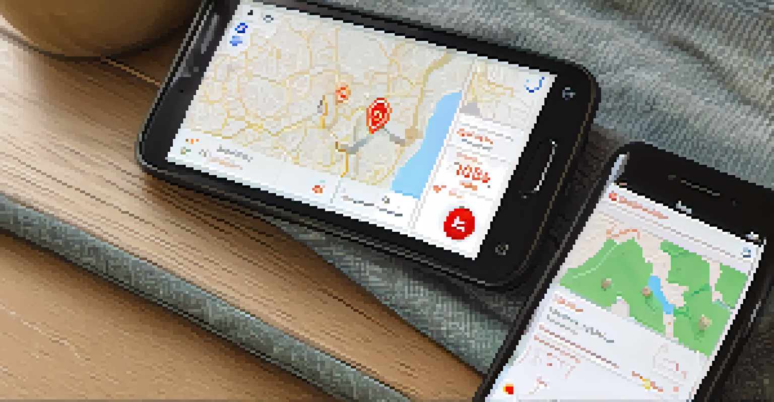
Smartphone Apps: A Modern Tool for Preparedness
Smartphone apps are transforming how individuals prepare for earthquakes. Many apps provide real-time alerts, emergency plans, and even virtual drills to ensure people know what to do when the ground shakes. Just like checking the weather, these apps keep you informed and ready.
The time to repair the roof is when the sun is shining.
Some apps also offer features like emergency contacts, checklists for supplies, and maps of safe zones. This convenience puts vital information at your fingertips, making it easier to act quickly. Picture having a personal assistant that guides you through each step of your earthquake preparedness plan.
Additionally, community-focused apps encourage neighbors to connect and share resources. This building of local networks can foster a sense of unity, reminding us that we’re stronger together when facing potential disasters.
The Impact of Social Media on Earthquake Awareness
Social media platforms are crucial for spreading awareness about earthquake preparedness. They provide a space for sharing tips, resources, and personal stories, helping to educate the public in a relatable way. Think of it as a giant community bulletin board where everyone can contribute and learn.
During an earthquake, social media can serve as a lifeline for communication. It allows individuals to check in with loved ones and share their safety status. This instant connectivity can ease anxiety and provide reassurance, especially in affected areas where traditional communication may fail.
Technology Enhances Preparedness
Innovations like smartphone apps and GIS improve how communities prepare for and respond to seismic events.
Moreover, social media campaigns can drive engagement and participation in preparedness initiatives. When people see their friends and family sharing useful information, it encourages them to take action, creating a ripple effect of awareness and readiness in the community.
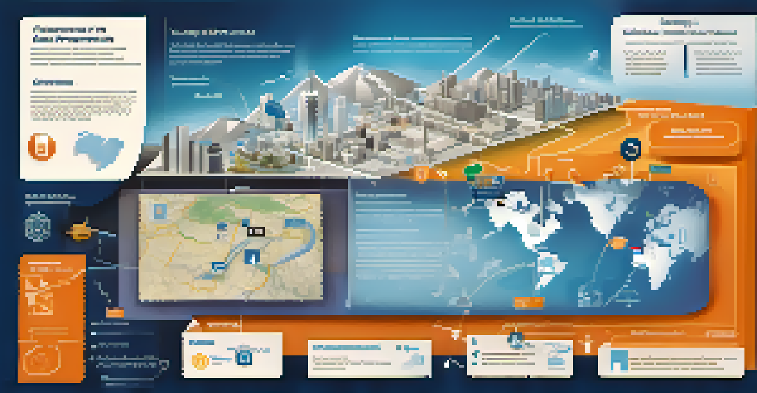
Using Geographic Information Systems (GIS) for Planning
Geographic Information Systems (GIS) are powerful tools for visualizing and analyzing earthquake risks. By mapping seismic zones and population densities, planners can identify high-risk areas and allocate resources accordingly. Imagine being able to see at a glance where help is needed most during a disaster.
GIS technology can also assist in creating effective evacuation routes and emergency response plans. By understanding the terrain and infrastructure, officials can make informed decisions that optimize safety during an earthquake. It’s like having a detailed roadmap that guides you through chaos.
Furthermore, GIS can help educate communities about their specific risks and preparedness strategies. By providing clear visuals, residents can better understand the importance of being prepared, fostering a culture of safety and awareness.
The Importance of Training and Simulation Technologies
Training and simulation technologies are essential for effective earthquake preparedness. Virtual reality (VR) and augmented reality (AR) can immerse individuals in realistic scenarios, teaching them how to respond during an earthquake. It’s like practicing a sport; the more you do it, the better you get.
These technologies allow for hands-on experiences without the risks associated with real-life drills. Participants can learn critical skills, such as how to drop, cover, and hold on, in a safe environment. This familiarity can help reduce panic and confusion when an actual earthquake occurs.
Community Engagement is Key
Building networks and sharing resources fosters a culture of safety and collaboration within neighborhoods.
Moreover, simulation technologies can be used by emergency responders to enhance their readiness. By practicing their response in a controlled setting, they can identify strengths and weaknesses in their plans, ultimately improving community safety when disaster strikes.
Integrating Technology into Community Preparedness Programs
Integrating technology into community preparedness programs is vital for creating resilient neighborhoods. By leveraging tools like apps, GIS, and social media, communities can enhance their readiness. Picture a neighborhood where everyone is informed and prepared, working together to face potential threats.
Workshops and training sessions can introduce residents to these technologies, ensuring they know how to use them effectively. Just like a community potluck, sharing knowledge and resources can strengthen bonds and foster a culture of preparedness. Everyone plays a part, and the more engaged the community, the safer it becomes.
Additionally, collaborating with local tech companies can bring innovative solutions to light. This partnership can lead to tailored resources that address specific community needs, ultimately leading to a more robust preparedness strategy.
Looking Ahead: The Future of Technology in Earthquake Preparedness
The future of technology in earthquake preparedness is promising, with continuous advancements on the horizon. Innovations like artificial intelligence (AI) could enhance predictive models, allowing for even more accurate forecasting of seismic events. Imagine a world where you receive alerts days in advance, giving you ample time to prepare.
As technology evolves, so will our approaches to training and education. Enhanced simulations and interactive learning experiences can empower individuals and communities to take charge of their safety. It’s an exciting time to reimagine how we prepare for earthquakes.
Ultimately, the integration of technology into preparedness strategies represents a significant step forward. By embracing these changes, we can build safer, more resilient communities ready to face the challenges posed by earthquakes.